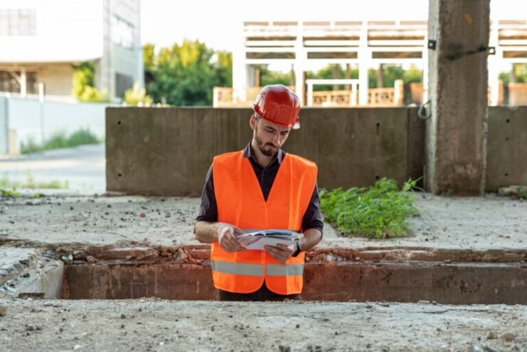
Engineering surveying is an essential discipline that underpins the successful design, construction, and maintenance of infrastructure projects. It involves the precise measurement and mapping of the environment to ensure that structures are built accurately and efficiently. From roads and bridges to skyscrapers and tunnels, engineering surveying plays a vital role in the development of infrastructure that meets both safety standards and functional requirements.
The Importance of Engineering Surveying in Infrastructure Development
Ensuring Accurate Design and Construction
Accurate surveying is crucial for the design phase of any infrastructure project. It provides detailed information about the topography, boundaries, and existing structures within a project site. This data is essential for architects and engineers to create designs that are not only aesthetically pleasing but also structurally sound. Without precise measurements, there is a risk of design flaws that could lead to costly errors during construction.
During the construction phase, engineering surveying ensures that the project is built according to the design specifications. Surveyors use a variety of tools and techniques to verify that each element of the structure is positioned correctly. This includes checking the alignment, elevation, and dimensions of the construction work. By maintaining strict adherence to the design, surveyors help prevent structural failures and ensure the longevity of the infrastructure.
Facilitating Efficient Project Management
Engineering surveying is integral to effective project management. Surveyors provide critical data that helps project managers plan and execute construction activities efficiently. This includes determining the most suitable locations for materials storage, equipment placement, and access routes. By optimising the use of space and resources, surveying contributes to reducing project timelines and costs.
Furthermore, surveyors play a key role in monitoring progress throughout the construction process. By conducting regular surveys, they can identify any deviations from the design and recommend corrective actions. This proactive approach helps keep the project on track and minimises the risk of delays and budget overruns.
Supporting Environmental and Regulatory Compliance
Infrastructure projects must comply with a range of environmental and regulatory requirements. Engineering surveying provides the data needed to assess the environmental impact of a project and ensure compliance with relevant laws and regulations. This includes conducting surveys to identify protected areas, assess soil stability, and evaluate potential flood risks.
Surveyors also assist in obtaining the necessary permits and approvals from regulatory bodies. By providing accurate and comprehensive survey data, they help demonstrate that the project meets all legal and environmental standards. This not only facilitates the approval process but also enhances the project’s reputation and public acceptance.
Key Techniques and Technologies in Engineering Surveying
Traditional Surveying Methods
Traditional surveying methods have been the backbone of engineering surveying for centuries. These techniques include the use of theodolites, levels, and chains to measure angles, elevations, and distances. Despite the advent of modern technology, traditional methods remain relevant, particularly in situations where high precision is required.
Theodolites are used to measure horizontal and vertical angles with great accuracy. They are essential for tasks such as setting out construction lines and determining the alignment of structures. Levels, on the other hand, are used to measure differences in elevation, which is crucial for ensuring that surfaces are level and drainage systems function correctly.
Modern Surveying Technologies
Advancements in technology have revolutionised engineering surveying, making it faster, more accurate, and more efficient. One of the most significant developments is the use of Global Positioning System (GPS) technology. GPS allows surveyors to determine precise locations using satellite signals, making it ideal for large-scale projects and remote areas.
Another modern technology is the use of Total Stations, which combine the functions of a theodolite and an electronic distance meter. Total Stations can measure angles and distances simultaneously, streamlining the surveying process. They also have the capability to store and process data digitally, reducing the risk of human error.
Laser scanning, or LiDAR (Light Detection and Ranging), is another cutting-edge technology used in engineering surveying. It involves using laser beams to create detailed 3D models of the environment. This technology is particularly useful for capturing complex geometries and conducting surveys in challenging terrains.
Drone Surveying
Unmanned Aerial Vehicles (UAVs), commonly known as drones, have become increasingly popular in engineering surveying. Drones can capture high-resolution aerial images and videos, providing a comprehensive overview of a project site. This aerial perspective is invaluable for tasks such as site analysis, progress monitoring, and volumetric calculations.
Drones are equipped with advanced sensors and cameras that can capture data quickly and accurately. They are particularly useful for surveying large or inaccessible areas, where traditional methods would be time-consuming or impractical. Additionally, drones can be programmed to follow specific flight paths, ensuring consistent and repeatable data collection.

Challenges and Considerations in Engineering Surveying
Dealing with Environmental Factors
Environmental factors can pose significant challenges to engineering surveying. Weather conditions, such as rain, fog, and wind, can affect the accuracy of measurements and the functionality of surveying equipment. Surveyors must carefully plan their activities to minimise the impact of adverse weather and ensure reliable data collection.
Terrain and vegetation can also present obstacles to surveying. Dense forests, steep slopes, and uneven ground can make it difficult to access certain areas and obtain accurate measurements. Surveyors must use specialised equipment and techniques to overcome these challenges and ensure comprehensive coverage of the project site.
Ensuring Data Accuracy and Precision
Accuracy and precision are paramount in engineering surveying. Even small errors in measurements can have significant implications for the design and construction of infrastructure. Surveyors must adhere to strict quality control procedures to ensure that their data is reliable and accurate.
This includes calibrating equipment regularly, using redundant measurements to verify results, and employing advanced data processing techniques. Surveyors must also be vigilant in identifying and correcting any sources of error, such as instrument malfunctions or human mistakes.
Integrating Surveying Data with Other Disciplines
Engineering surveying is not an isolated discipline; it must be integrated with other areas of expertise to ensure the success of infrastructure projects. Surveyors must collaborate closely with architects, engineers, and construction managers to ensure that their data is used effectively in the design and construction process.
This collaboration requires effective communication and the use of compatible data formats and software. Surveyors must be proficient in using Geographic Information Systems (GIS) and Building Information Modelling (BIM) to share and analyse data with other stakeholders. By fostering interdisciplinary collaboration, surveyors can contribute to more efficient and successful infrastructure development.
The Future of Engineering Surveying
Emerging Technologies and Innovations
The field of engineering surveying is continually evolving, with new technologies and innovations on the horizon. One promising development is the use of artificial intelligence (AI) and machine learning to automate data processing and analysis. These technologies have the potential to enhance the accuracy and efficiency of surveying, reducing the reliance on manual labour and minimising human error.
Another emerging trend is the integration of Internet of Things (IoT) devices into surveying equipment. IoT-enabled sensors can provide real-time data on environmental conditions, equipment performance, and project progress. This data can be used to optimise surveying activities and improve decision-making throughout the project lifecycle.
Sustainability and Environmental Considerations
As the demand for sustainable infrastructure grows, engineering surveying must adapt to new environmental considerations. Surveyors will need to focus on minimising the environmental impact of their activities and contributing to the development of eco-friendly infrastructure solutions.
This includes using sustainable materials and practices, as well as conducting surveys that assess the potential environmental impact of projects. By prioritising sustainability, surveyors can play a crucial role in creating infrastructure that meets the needs of future generations.

Expanding Roles and Responsibilities
The role of engineering surveyors is expanding beyond traditional boundaries. Surveyors are increasingly involved in project planning, risk management, and stakeholder engagement. This expanded role requires surveyors to develop new skills and competencies, such as project management, communication, and negotiation.
As infrastructure projects become more complex and multidisciplinary, surveyors will need to embrace new challenges and opportunities. By adapting to these changes, they can continue to provide valuable contributions to the development of safe, efficient, and sustainable infrastructure.
More to Read : What an Engineering Surveyor Contributes to Construction Projects
